
Wake County ZIP Code Coverage
The official Wake County ZIP reference map is a starting reference, not a legal boundary map. It shows the postal-place labels listed below, including Raleigh labels with gaps in the numeric sequence. Use its placement to identify candidate areas, then inspect the parcel in iMAPS. The table preserves the map’s labels rather than turning them into municipal claims.
| ZIP code | Area label on Wake map | Post-office label | Reading note |
|---|---|---|---|
| 27502, 27523, 27539 | Apex area | Apex | 27523 is edge or nearby geography; recheck 27539 with iMAPS and address validation. |
| 27511, 27513, 27518, 27519 | Cary area | Cary | Postal label, not a city-limit polygon. |
| 27526 | Fuquay-Varina area | Fuquay-Varina | Postal label on the county map. |
| 27529 | Garner area | Garner | Postal label on the county map. |
| 27540 | Holly Springs area | Holly Springs | Postal label on the county map. |
| 27545 | Knightdale area | Knightdale | Postal label on the county map. |
| 27560 | Morrisville area | Morrisville | Postal label on the county map. |
| 27562 | New Hill area | New Hill | Postal label on the county map. |
| 27571 | Rolesville area | Rolesville | Postal label on the county map. |
| 27587 | Wake Forest area | Wake Forest | USPS mailing data includes an adjacent 27588 range. |
| 27591, 27592, 27597 | Wendell, Willow Spring, Zebulon areas | Wendell, Willow Spring, Zebulon | Each is a postal label shown on the map. |
| 27601 | Central Raleigh | Raleigh | Central Raleigh postal label. |
| 27603–27610 | Raleigh area | Raleigh | 27603 has broader county and municipal-edge context. |
| 27612–27617 | Raleigh area | Raleigh | The map skips 27611 in the ordinary mapped sequence. |
The map also displays adjacent or edge labels for Angier 27501, Clayton 27520, Creedmoor 27522, Youngsville 27596, and Durham-area 27703 and 27713. Do not count those labels as Wake postal areas without checking the specific parcel and county.
Read Wake County ZIP Maps
The Wake County ZIP reference map is useful for a broad visual comparison, but the map itself includes areas beyond a simple county outline. Capture its legend, visible source and disclaimer, and date if one is shown. The research record identifies Wake GIS at 337 S Salisbury St in Raleigh as the map contact, with 919-856-6360. A map label should not be restated as a legal municipal line.
ZIP code directory research requires three separate questions: what postal destination the address uses, what ZIP layer appears around the parcel, and what municipal jurisdiction iMAPS reports. The first is postal. The second is mapped geography. The third is a government-boundary question. Keeping those questions separate prevents a familiar place name from doing more work than the source supports.
Note: The county PDF frames the search area, while iMAPS supplies the parcel-level ZIP and Corporate Limits cross-check.
Check Wake County ZIP Parcels
Use the street address as the parcel key. Wake County’s assessor does not offer a current ZIP input field, so a ZIP alone does not filter the Real Estate Search. iMAPS is the closest official ZIP-capable route because its ZIP layer can be turned on and inspected around a parcel. This is a parcel-validation workflow, not a ZIP-wide resident roster.
- Confirm the mailing ZIP through USPS or address validation when the postal destination itself is the question.
- Search the street number and name in Wake Real Estate Search. Omit the street type from the Street Name field and save the REID or PIN.
- Use iMAPS Identify on the parcel. Turn on the ZIP layer, Corporate Limits, Planning Jurisdictions, Streets, and Addresses.
- Record a mismatch in plain terms, such as postal Raleigh with an unincorporated parcel, or Cary ZIP with a different planning jurisdiction.
- Use the parcel identifier and date when a further record search is needed. Once the question narrows to a road, the Wake County street directory provides the address-by-address trail.
A voter ZIP is not a precinct. Voter status, jurisdiction, and precinct assignments can change, and a public voter result does not prove physical residence or identity. For an official selective data request, use the NCSBE request channel and its statutory confidentiality limits rather than attempting to create a broad ZIP list.
Wake County ZIP Search Fields
The address search and map viewer accept different kinds of input. The assessor route is best for an address, REID, PIN, or owner clue. iMAPS is best for observing the ZIP layer around an identified parcel. The USPS label list is the authority for address-format labels, not a municipal map. Use each source for its actual field or layer instead of forcing a ZIP query into the assessor.
| Official route | Observed field or layer | Postal-use method |
|---|---|---|
| Wake Real Estate Search | Street Number, Street Name, REID, PIN, owner fields | No current ZIP search field observed; use the parcel result as the bridge. |
| Raleigh/Wake iMAPS | Search, Identify, ZIP layer, Corporate Limits, Planning Jurisdictions | Inspect the mapped ZIP and city-status layers around one parcel. |
| USPS label list | Postal-label data | Confirm a mailing destination and formatting, not city limits. |
| NCSBE request form | County, election, data description, requested fields, format and delivery | Use a focused authorized request; protected fields remain excluded. |
Note: The absence of an assessor ZIP field is a reason to cross-check in iMAPS, not a reason to infer every parcel in a postal label area.
ZIPs and Census ZCTAs
A ZIP is built from USPS delivery routes. A Census ZCTA is a generalized statistical representation. The Census warns that not every valid ZIP is represented by a ZCTA, and a ZCTA can be noncontiguous, enclaved, or associated with a post-office-box or unique institutional delivery. A ZCTA boundary is therefore not a delivery route and not a city limit.
Census ZCTA guidance explains why statistical mapping and postal delivery should be read separately.
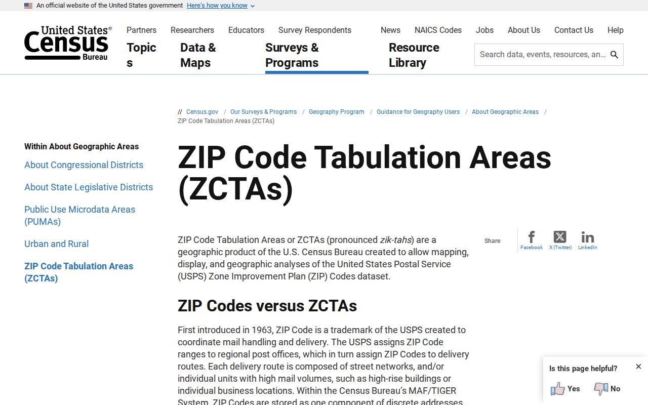
Use a ZCTA for broad statistical mapping only. For a Wake County address, use the postal source for mailing, iMAPS for the mapped parcel layer, and Corporate Limits for city status.
Raleigh ZIP Labels Differ
A Raleigh ZIP label does not prove residence inside Raleigh corporate limits. The same caution applies to Cary, Apex, Wake Forest, and other postal labels shown on the Wake map. A postal place is an address-label convention. Municipal status comes from the corporate-limit layer. Planning jurisdiction is another layer and can differ again.
For addresses inside Raleigh, MyRaleigh’s address service can return city services and council information. It is useful as a city-facing address check, while iMAPS remains the parcel-level source for ZIP, corporate limits, and planning-jurisdiction comparison.
The captured MyRaleigh address interface illustrates the city-facing lookup route.
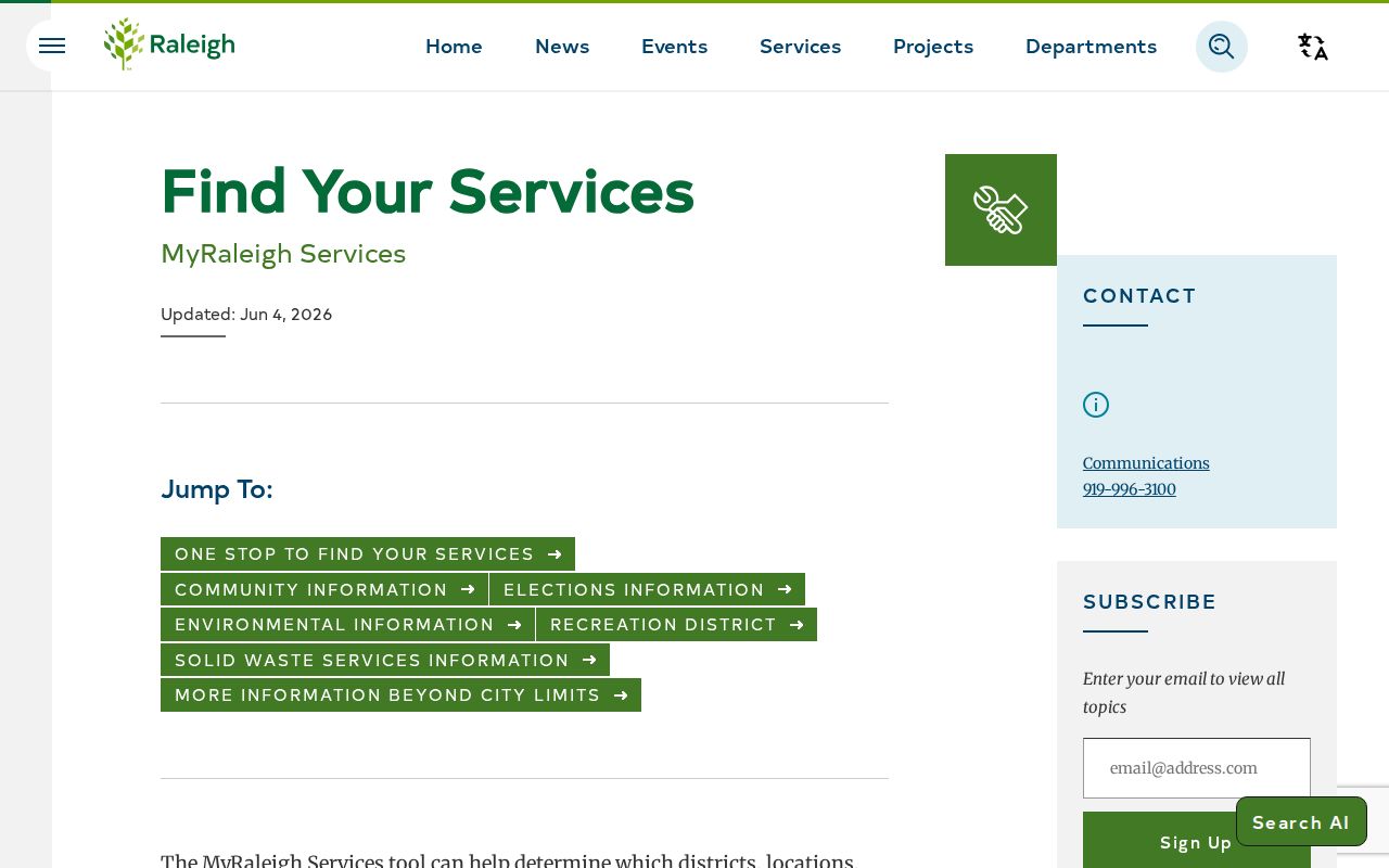
A service result can clarify city context, but it should be recorded with the street address and date rather than substituted for the county parcel record.
Note: A postal place describes delivery context; it does not replace the parcel’s mapped corporate-limit status.
Wake County ZIP Mismatch Notes
Write down the distinction when the sources disagree. Common Wake County cases include a postal Raleigh address on an unincorporated parcel, a Cary ZIP with another planning jurisdiction, a ZIP that crosses municipal boundaries, an owner mailing ZIP that differs from the situs address, an old directory number that does not match the modern number, or a static map that predates a layer update. Each case needs its own source and date.
Do not search only by place name when both ZIP and street are known. Enter the street in the assessor, compare the parcel in iMAPS, and preserve the REID/PIN. Then state the specific result, such as “postal ZIP,” “mapped ZIP layer,” or “corporate-limit status.” That wording makes a Wake County ZIP code directory result reproducible and avoids false city claims.
Wake County Special ZIP Labels
USPS mailing data includes Raleigh post-office or unique ZIPs beyond the ordinary residential labels on the county map. The research lists 27602, 27611, 27619 through 27620, 27622 through 27624, 27626 through 27629, 27636, 27650, 27658, 27661, and 27675. Some may be post-office-box or special mailing destinations rather than mapped residential areas.
- ZIP Code
- A USPS delivery-route construct used for postal service.
- ZIP+4
- An added delivery detail within a ZIP; it does not identify a municipality.
- Post-office-box ZIP
- A ZIP used for a post-office destination and not necessarily an ordinary geographic area.
- Unique ZIP
- A special mailing destination that may not map like a standard delivery area.
- Carrier route
- A USPS delivery grouping, not a census or municipal boundary.
The USPS label list is the source for postal-label formatting. Pair it with the Wake map and iMAPS instead of assigning a city from a special ZIP alone.
Wake County ZIP Limits
The directory narrows geography, but it does not establish a person’s identity, current presence, voter precinct, or municipal residency. The county map does not promise ZIP-level resident counts or a complete ZIP roster. Assessment and voter sources also carry their own dates, protected fields, and record-role limits.
Use geographic records carefully. Keep address research limited to a lawful purpose, minimize details that do not answer the question, and never use a postal or parcel result to stalk, harass, intimidate, or harm another person.
When a public record is needed, request the existing record from its custodian with a specific address, identifier, date range, and format. North Carolina Public Records Act access does not require an agency to create a new ZIP-based compilation.