
Wake County Neighbors by Parcel
People around a Wake County address are best researched one property at a time. Wake County property systems keep the parcel identifier needed for that work. An adjacent parcel is a spatial relationship, not proof that any particular person lives there. Begin with the address and record the tax identifier before opening a deed, civic map, or voter result. Each source answers a limited question about the block.
| Source | What It Shows About a Block | Access |
|---|---|---|
| Raleigh/Wake iMAPS | Property boundaries, addresses, layers, and touching parcel geometry | Free public viewer |
| Wake Real Estate Search | Owner-of-record and parcel fields for each identified lot | Free public search |
| Wake CRPI | Recorded deeds, plats, easements, and document references | Public index and images |
| Raleigh Neighborhood Registry | Mapped civic groups and community context | Free public directory |
| NC Voter Search | Limited public registration and precinct information | Statutory public fields only |
Owner name, mailing field, and assessed information remain owner or property facts. They do not establish occupancy, a personal relationship, or a complete list of people on the block.
Wake County Neighbor Parcel Flow
The official method is visual and parcel-based. Wake County iMAPS has no dedicated neighbor button. Search the subject address first, then let the map and identifier trail determine which records belong to a touching parcel.
- Find the address in Wake Real Estate Search and save the site address, REID, and PIN.
- Open iMAPS, locate that parcel, and turn on Property Boundaries and Addresses.
- Use Identify on each polygon that physically touches the subject parcel boundary.
- Save every touching parcel’s REID or PIN, then open its separate tax and deed record when needed.
- Record an intervening road, stream, common area, alley, or right-of-way instead of calling a nearby lot adjacent.
That sequence is address → property boundaries → each touching parcel → REID or PIN → tax or deed link. For a complete named-street trail rather than the immediate block, use the Wake County streets directory.
Wake County Neighbor Map Layers
Raleigh/Wake iMAPS adds geographic context to the parcel. Its public layers include property boundaries, lot dimensions, streets, addresses, deeds, permits, ZIP Codes, corporate limits, planning jurisdictions, subdivisions, precincts, municipal zoning, flood information, and public-service locations. Layer dates differ, so a map observation should retain the layer name and access date.
Turn on the layers needed for the question. Property Boundaries establish the visual relationship; Subdivisions can identify the recorded development context; Corporate Limits and Planning Jurisdictions distinguish city services from county geography. An online outline is useful for research, but it is not a survey or legal boundary determination.
Wake County Parcel Boundaries
A postal address can carry a Raleigh, Cary, Apex, or Wake Forest label while the parcel lies in a different municipal setting or in unincorporated Wake County. Many Wake County addresses cross these administrative descriptions. Compare iMAPS ZIP Codes, Corporate Limits, Planning Jurisdictions, and Subdivisions layers before describing the area. ZIP Codes are delivery-route geography, not city limits.
This is a Wake-specific map check because the county and Raleigh layers cover multiple cities and extraterritorial areas. A road or creek can also separate parcels that look close on a broad map. Zoom in, identify each polygon, and describe only the relationship the map actually shows.
- Parcel
- A mapped tract of property with an identifier and boundary.
- REID or PIN
- Wake identifiers used to reconnect a map parcel to property records.
- Corporate limit
- The mapped boundary of a municipality, distinct from a postal label.
- Subdivision
- A recorded development area that can add property context but not household proof.
Wake County Neighbor Record Roles
Official property and recorded-document sources are more precise than a generic commercial neighbor-search category because they identify the custodian, date, and record type. Even so, the right interpretation is limited: a tax-card owner is an owner of record, and a deed party is a party to an instrument. Neither label makes a person a current neighbor.
| Record category | Useful block fact | Limit to keep |
|---|---|---|
| Official parcel and deed records | Property identifiers, boundaries, recorded parties, and dates | Owner or party role is not occupancy |
| Official civic and voter sources | Public group context or statutory registration fields | Not a household roster or relationship map |
| Commercial people-search category | A possible lead that needs independent checking | May combine stale or mismatched data without custodian context |
Use a map or parcel identifier as the bridge between systems. Do not turn mixed records into a mass list for a block.
Wake County Neighbor Civic Map
The Raleigh Neighborhood Registry is an official directory of civic organizations, not a resident roster. It began in 2002 and its March 2026 page reports more than 360 registered groups in Raleigh and its extraterritorial jurisdictions. The public map can add neighborhood context after a parcel’s location is known.
Registration requires a defined boundary, at least 48 units or homes, an annual meeting, leadership, an open and nonpartisan structure, and bylaws or a mission statement. Those rules explain why a registry group shows civic organization, not every household in an area.
| Community source | Public use | Public contact |
|---|---|---|
| Raleigh Neighborhood Registry | Group map and geographic neighborhood context | RNR@raleighnc.gov, 919-996-6100 |
| Raleigh Engagement Network | Context for groups not tied to one location | Use the City’s public directory |
The registry page provides the public-facing map and office contact.
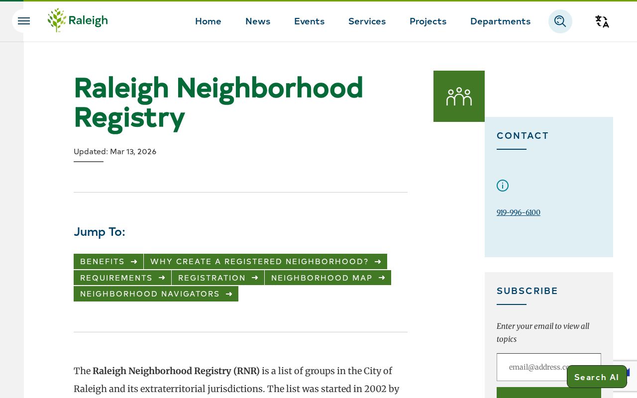
Use the listed group page rather than copying volunteer or personal contact details into a neighbor record.
Wake County Voter Record Limits
NC Voter Search can report public registration information for a name search, including status, precinct, jurisdictions, polling place, and voter history where available. A Wake County filter helps narrow a namesake search. N.C.G.S. 163-82.10 permits specified public fields and selective public lists, subject to the statute and any actual cost for a formal request.
Full birth date, Social Security information, email, driver-license details, photo-ID copies, and similar fields remain confidential. A voter result does not prove physical presence at an address, and voter history is not a ballot choice. For block context, compare precinct and jurisdiction against iMAPS layers rather than publishing a full voter row.
Wake County Neighbor Documents
Recorded instruments can clarify a parcel’s history without becoming a profile of nearby people. The Wake Register of Deeds search disclaimer describes the index as a finding aid. Read the actual deed or plat for recording date, legal description, document reference, and parties, then retain its limitations.
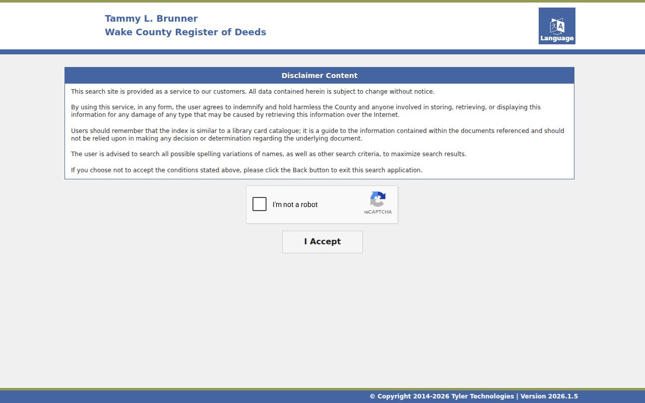
A document can show a property transaction at a point in time. It does not show a current social connection between adjoining parcels.
Wake DocAlert is a separate name-monitoring service for recorded-document concerns. Its registration requests an email, individual or business selection, and name variants, and its terms say the service is informational monitoring rather than title insurance, fraud determination, or identity verification.
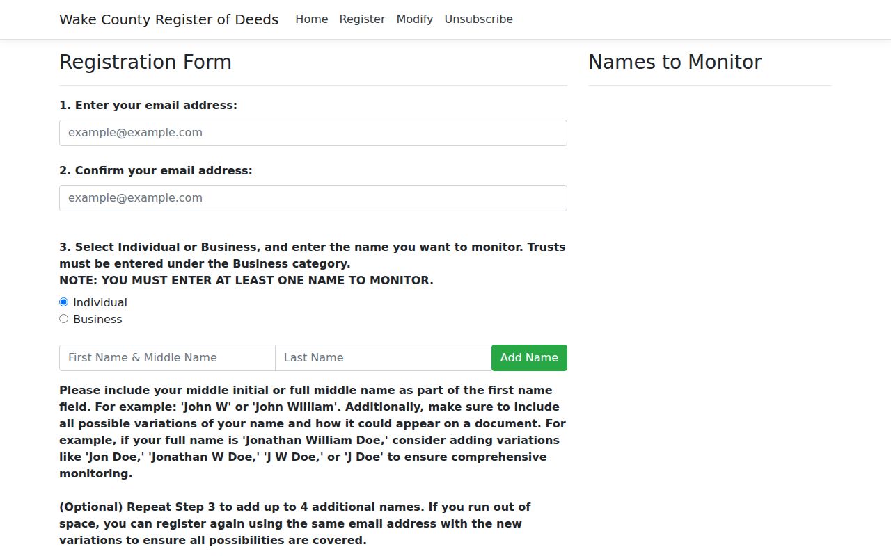
Use DocAlert only for an authorized concern connected to your own name or property, then inspect any alert with the Register of Deeds.
Wake County Neighbor Geography
A postal label is not enough to describe a Wake County block. The county ZIP reference map shows Raleigh labels alongside Apex, Cary, Garner, Holly Springs, Knightdale, Morrisville, Wake Forest, Wendell, Zebulon, and other postal areas. Those labels can overlap municipal and county boundaries. The Census also explains that ZIP Codes follow USPS delivery routes, while ZCTAs are statistical representations. Neither determines where a city limit falls.
For one parcel, compare the iMAPS ZIP Code layer, Corporate Limits, Planning Jurisdictions, subdivision, and street address. A road, common area, stream, or right-of-way can change the practical relationship between nearby parcels. The result should say “mapped ZIP,” “postal label,” or “municipal jurisdiction” as appropriate. It should not assume that the same place name proves a shared city status.
When a street name or number looks old, add the directory year, recorded plat, and current parcel identifier before connecting it to the modern block. Raleigh’s street-name process and annexation history show why an address label needs an effective date.
The official county ZIP map is a useful reference, but it carries a Wake GIS disclaimer and includes edge postal labels. For parcel-level work, retain the layer name and date used in iMAPS. That small note helps another researcher understand why an address, a postal place, and a municipal label may not line up.
Wake County Neighbor Privacy
Public records do not erase privacy and safety limits. The NC Address Confidentiality Program provides eligible survivors a substitute address for covered uses. Sealed court material, protected voter fields, sensitive vital information, and motor-vehicle personal information are also restricted. Do not try to uncover an actual address behind a protected record.
Use only the fields needed for a legitimate property, civic, family-history, or safety question. Save record identifiers and official links rather than publishing a broad block profile.
Lawful use. Mapping nearby Wake County parcels is for lawful personal research and geographic context. N.C.G.S. 14-277.3A prohibits stalking; repeated unwanted contact, intimidation, or harassment is never a proper use of parcel or civic records.